


Mappem
Development of a mobile electromagnetic imaging tool.
2010
Mappem Geophysics
Creation of MAPPEM Geophysics, a spin-off from the University of Brest.
2015
Mappem-3D
Development of a 3D imaging system.
2018
Statem
Development of a fixed system for passive measurement of electromagnetic fields.
2019
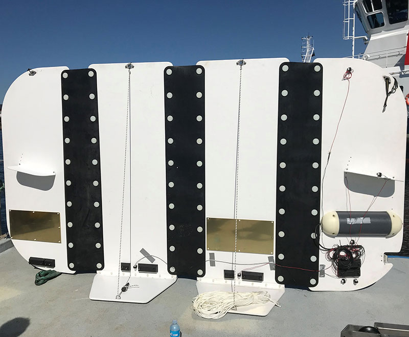
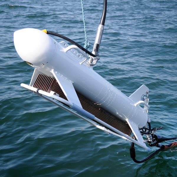
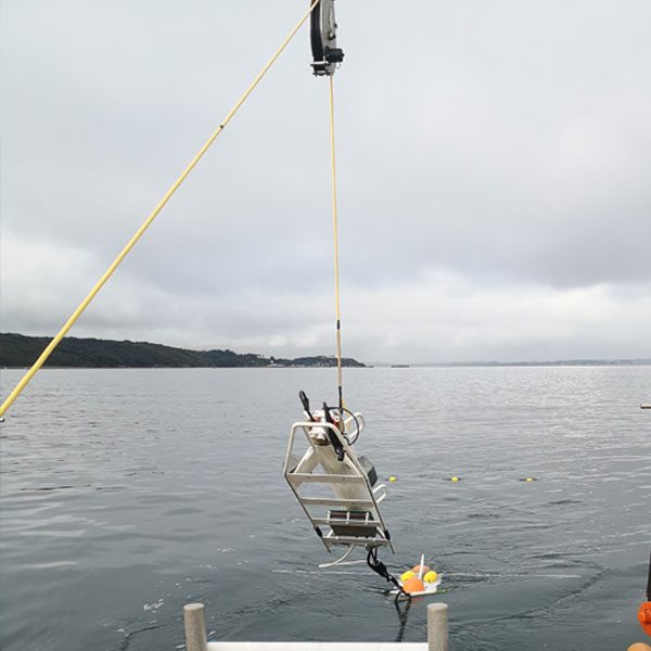
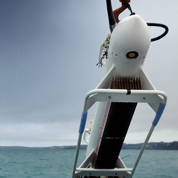
Mappem-s
Development of a shallow water electromagnetic imaging system.
2020
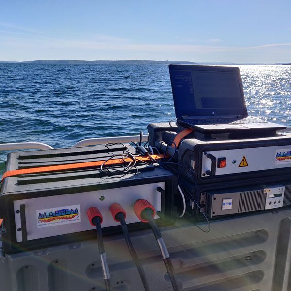
FastInv
Development of a high-speed inversion algorithm.
2021